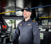
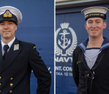
Season two of Unclassified Podcast launches
17 April 2024
Unfortunately you are viewing this website on an outdated browser which does not support the necessary features for us to provide an adequate experience. Please switch to a modern browser such as latest version of Google Chrome, Mozilla Firefox, Apple Safari or Microsoft Edge.
Ngā mihi nui
17 April 2024
19 April 2024
17 April 2024
17 April 2024
15 April 2024
10 April 2024
09 April 2024
04 April 2024
03 April 2024
26 March 2024
25 March 2024
19 March 2024
08 March 2024
08 March 2024
06 March 2024
13
24 February 2024
22 February 2024
22 February 2024
21 February 2024
19 February 2024
14 February 2024
09 February 2024
02 February 2024
31 January 2024
30 January 2024
25 January 2024
25 January 2024
24 January 2024
23 January 2024
18 January 2024
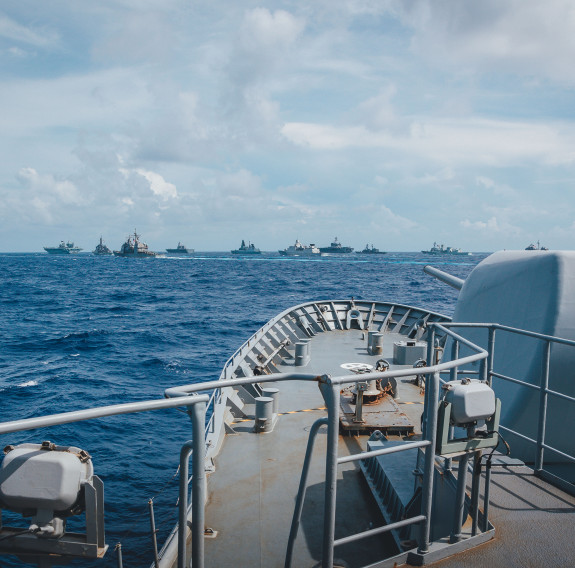
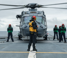
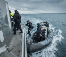
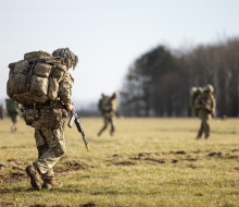
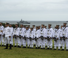
As an island nation with no immediate neighbours, maritime security is vital for New Zealand. Around 90% of our imports and exports are transported by sea so ensuring our trade routes are secure is critical for our economy. Our Exclusive Economic Zone is one of the largest in the world, and at 30,000,000 square kilometres our search and rescue area of responsibility is 7% of the earth’s surface. We protect our own natural ocean resources along with those of our Pacific Island neighbours and play our part in maintaining and preserving order in our region. We are one of the first responders to natural disasters and crises, spearheading the humanitarian response by carrying people, equipment, supplies and expertise to where they are needed most.
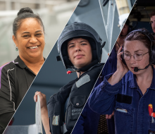
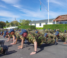
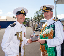
We come from all walks of life and share a strong sense of what it means to be Kiwi - our culture is based on our values Tū Kaha (courage), Tū Tika (commitment), Tū Tira (comradeship) and Tū Maia (integrity). Together, we are Force for New Zealand and are proud to serve Aotearoa and its diverse communities.
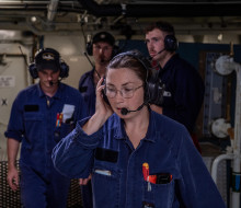
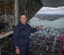
Our fleet comprises nine modern and versatile ships and over 2,500 uniformed personnel who undertake a full range of maritime tasks from a combat capability to conducting humanitarian aid and disaster relief missions, fishery and border patrols through to support for government agencies.
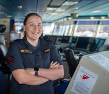
A career in the Defence Force is unlike anything out there. You'll be working as part of a tight-knit team, protecting your family, friends, the environment and your country from harm and representing the New Zealand way of life where you go. It's an incredibly rewarding job that gives you a real sense of purpose.
Find out more
13 January 2024
16 November 2023

06 November 2023
02 October 2023

03 July 2023
19 June 2023
11 May 2023